AEMET red warning and a new storm, Charles
- Source date
- Published on Tairix
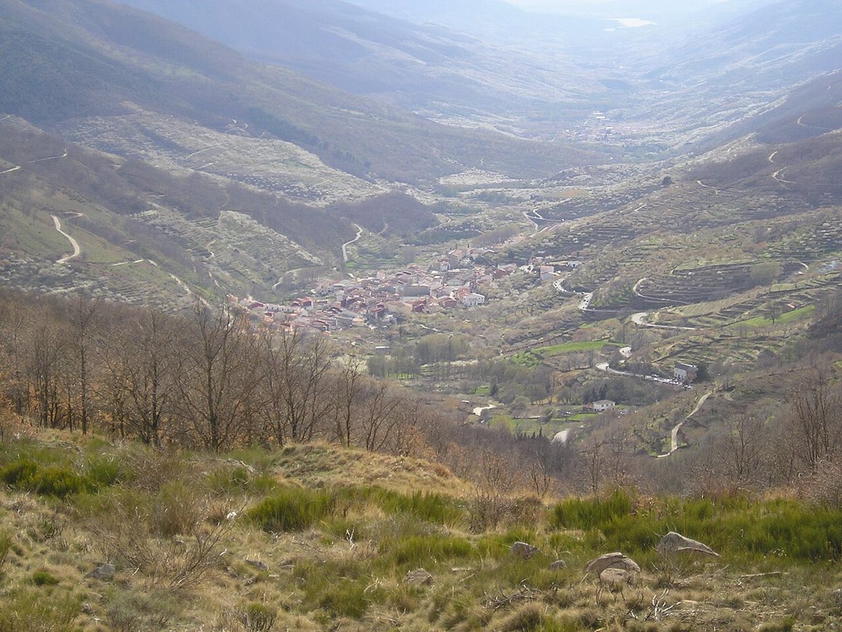
Storm Bruna is still bringing heavy rain, and Charles is coming next — according to RTVE, the second high-impact storm in a few days. On Tuesday there is a red warning in northern Cáceres and southern Ávila; on Wednesday and Thursday heavy rain and strong winds hit the south-west and the Canaries.
Spain is caught between two storms. Bruna is still bringing rain, wind and rough seas to much of the peninsula and the Canaries, and on Monday the Portuguese weather service IPMA named the next one: Charles, a storm of subtropical origin. According to RTVE, it is the second high-impact storm in a few days, and Wednesday will be the worst day.
📍 Red warning on Tuesday
Because of Bruna, AEMET has issued a red warning — extraordinary danger — for Tuesday in northern Cáceres and southern Ávila: from 09:00 to 23:59 up to 120 litres per square metre may fall there in 12 hours, with a probability of 40 to 70 %. South of the Sistema Central, 200–300 litres could build up over the whole episode until Thursday. A yellow warning covers the rest of Ávila, Salamanca, Zamora and Castilla-La Mancha. Gusts in the north and west exceed 70 km/h, locally over 100 km/h in the mountains, and waves off western Galicia reach 5–6 metres.
📍 Where Charles is heading
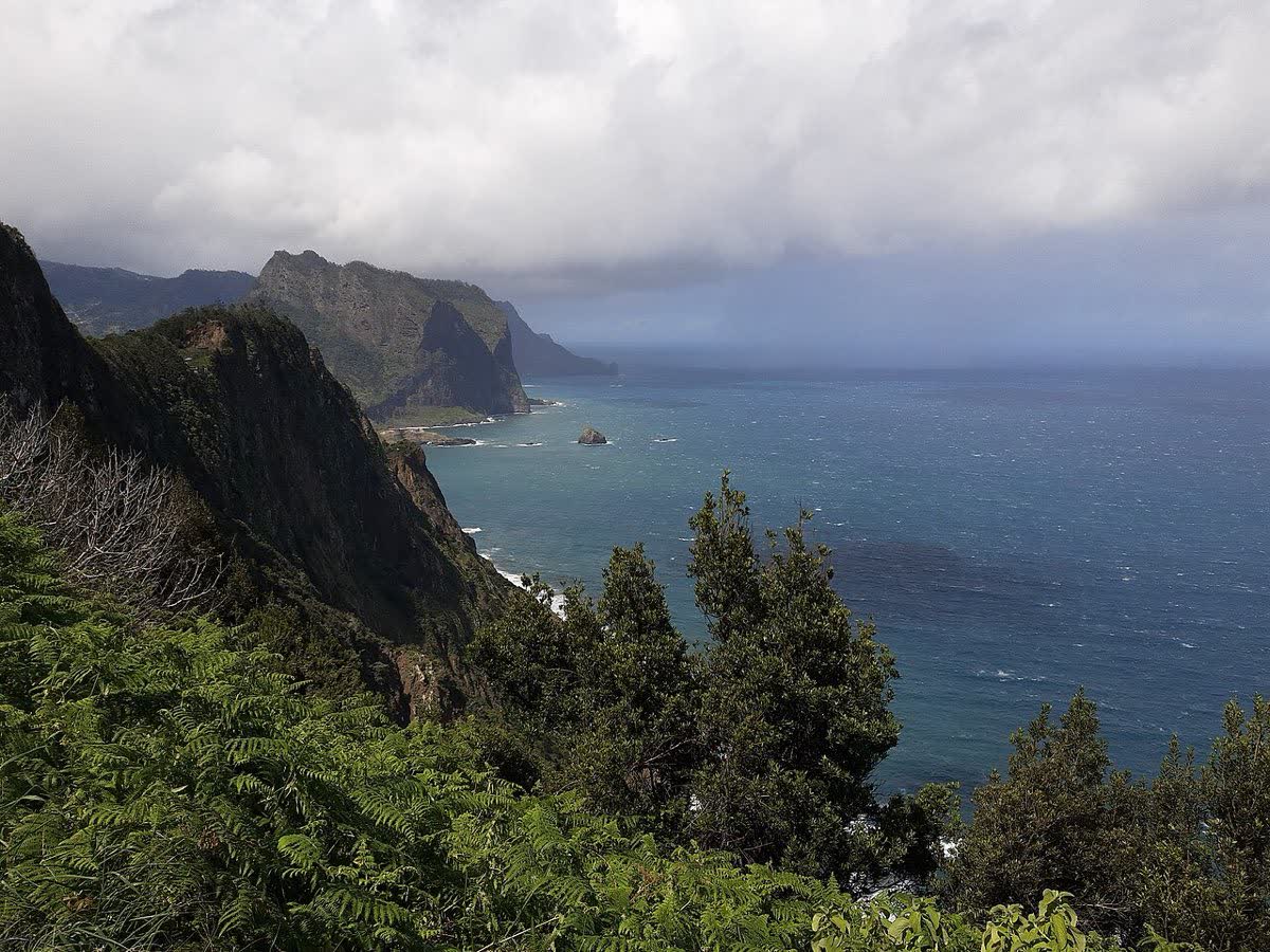
On Tuesday and Wednesday Charles passes near Madeira, further from the Canaries than first expected, but the islands will feel it first: on Wednesday heavy rain and thunderstorms return there, and La Palma and Tenerife may get 80–100 litres over two days, locally more than 150. The core of the storm is forecast to reach the peninsula on Wednesday evening from the south-west, via the Gulf of Cádiz or central Portugal. AEMET considers it likely that western Andalusia, Extremadura, the province of Málaga and Castilla y León will be hit hardest. On Thursday the storm moves north-east and starts to weaken.
📍 What about the Costa Blanca
For now the main hit is forecast far from us, but AEMET does not rule out Charles reaching the east of the peninsula and the Balearics, and a small shift in its track could change a lot where the heaviest rain and wind fall. AEMET will refine its Wednesday and Thursday warnings over the coming hours, so check them on the agency’s website before travelling. If you are heading to Madrid, Extremadura, Andalusia or the Canaries these days, allow extra time; Wednesday 11 November is also a general strike day in Spain. From Thursday the rain is forecast to ease.
Original source: RTVE ↗